Collect, catalog and store your data.
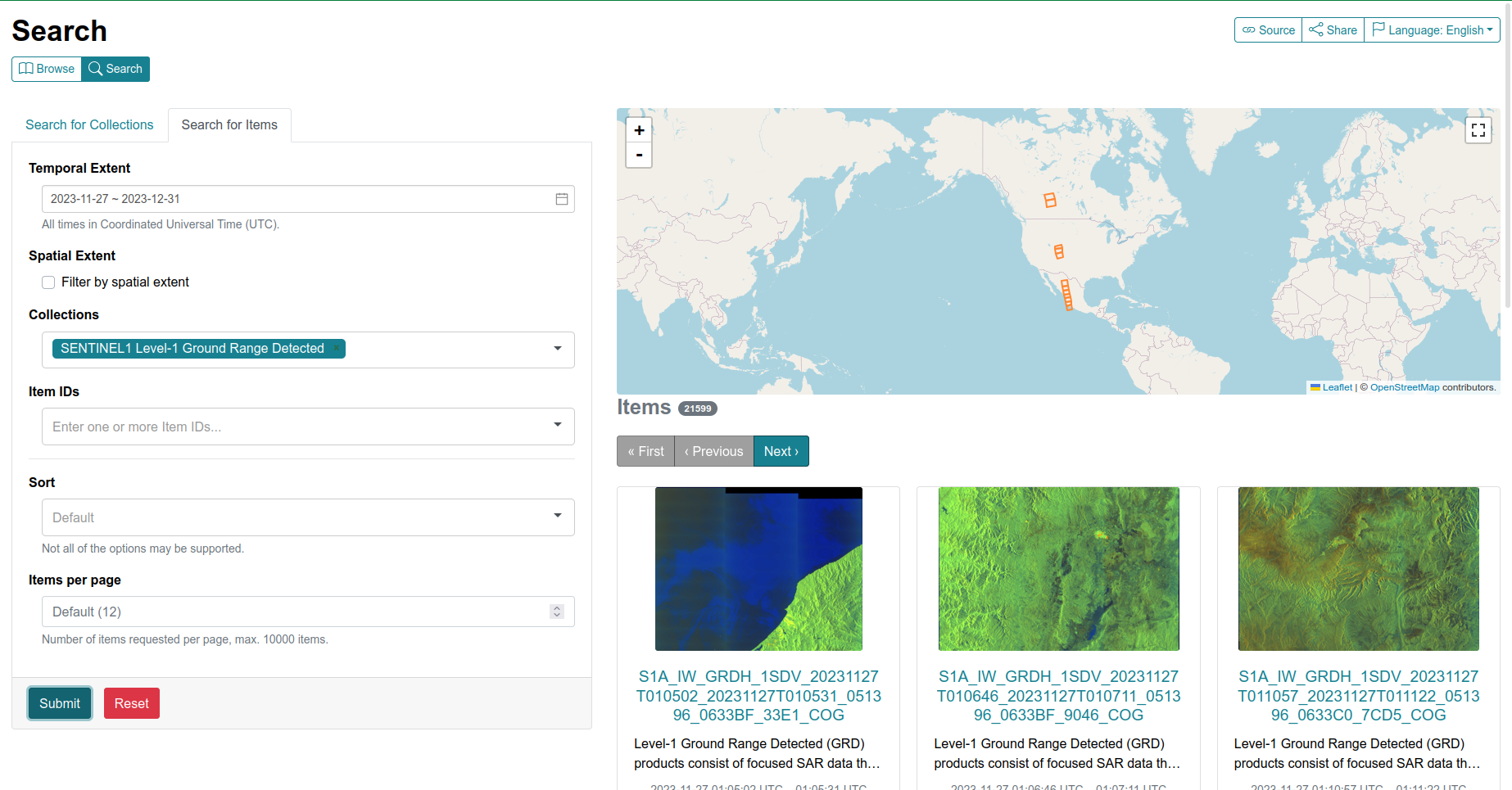
The inclusion of dataset in the SpatioTemporal Asset Catalog (STAC) significantly enhances discoverability, interoperability, and integration into geospatial workflows. Leveraging STAC metadata standards allows for efficient filtering by spatial, temporal, and spectral properties, supporting scalable and automated analysis in diverse Earth observation applications.
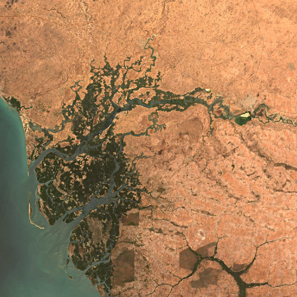


Explore your data
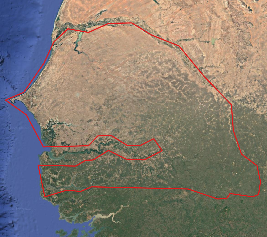
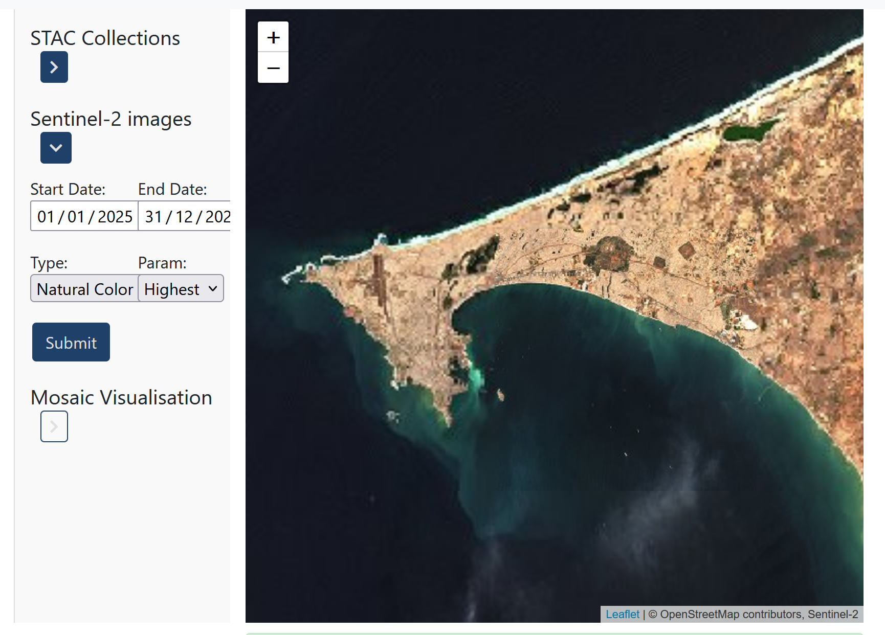
STAC is a great tool to explore data because it provides a standardized, searchable structure for geospatial assets, making it easy to browse, filter, and access datasets based on key attributes like time, location, and spectral bands. Its API and catalog format support fast discovery and preview of large collections, helping users find the right data quickly and integrate it smoothly into analysis tools and workflows. Whether you're working with satellite imagery, aerial photos, or other spatial data, STAC simplifies exploration and boosts productivity.
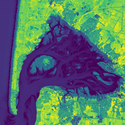
Visualize your geospatial data
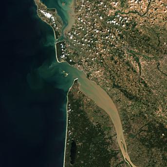
STAC and MinIO together provide a powerful backend for geospatial data visualization. MinIO offers scalable, S3-compatible storage for large datasets, while STAC organizes and catalogs the data for easy discovery. Combined with OGC services and APIs, they enable efficient access, filtering, and rendering of geospatial layers in web maps, dashboards, and analytical tools.
Process your geospatial data
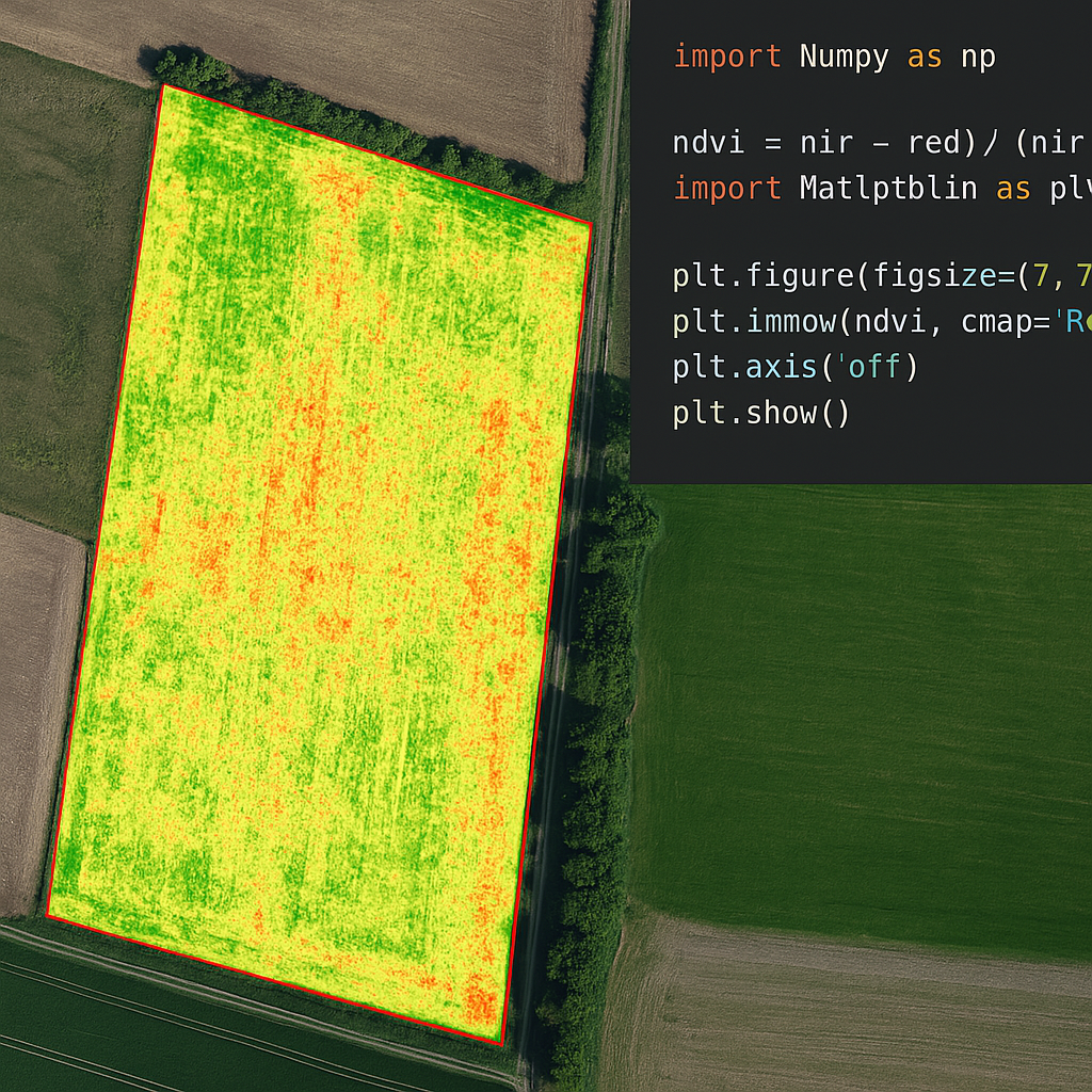
STAC and MinIO together offer a powerful solution for geospatial data processing. MinIO provides scalable, S3-compatible object storage for efficiently managing large volumes of data, while STAC adds standardized metadata and search capabilities. Combined, they enable fast, organized access to geospatial assets, making it easier to automate workflows, analyze data at scale, and integrate with cloud-native processing tools.