GeoStratify
Geospatial expertise and open-source solutions for smarter decision-making. We help organizations harness the power of geospatial data with innovative GIS and Earth Observation applications.
Services
Consulting & Training
Expert guidance and strategic support in GIS and Earth Observation, helping clients design and implement effective geospatial data solutions.
Learn more→Open Source Development
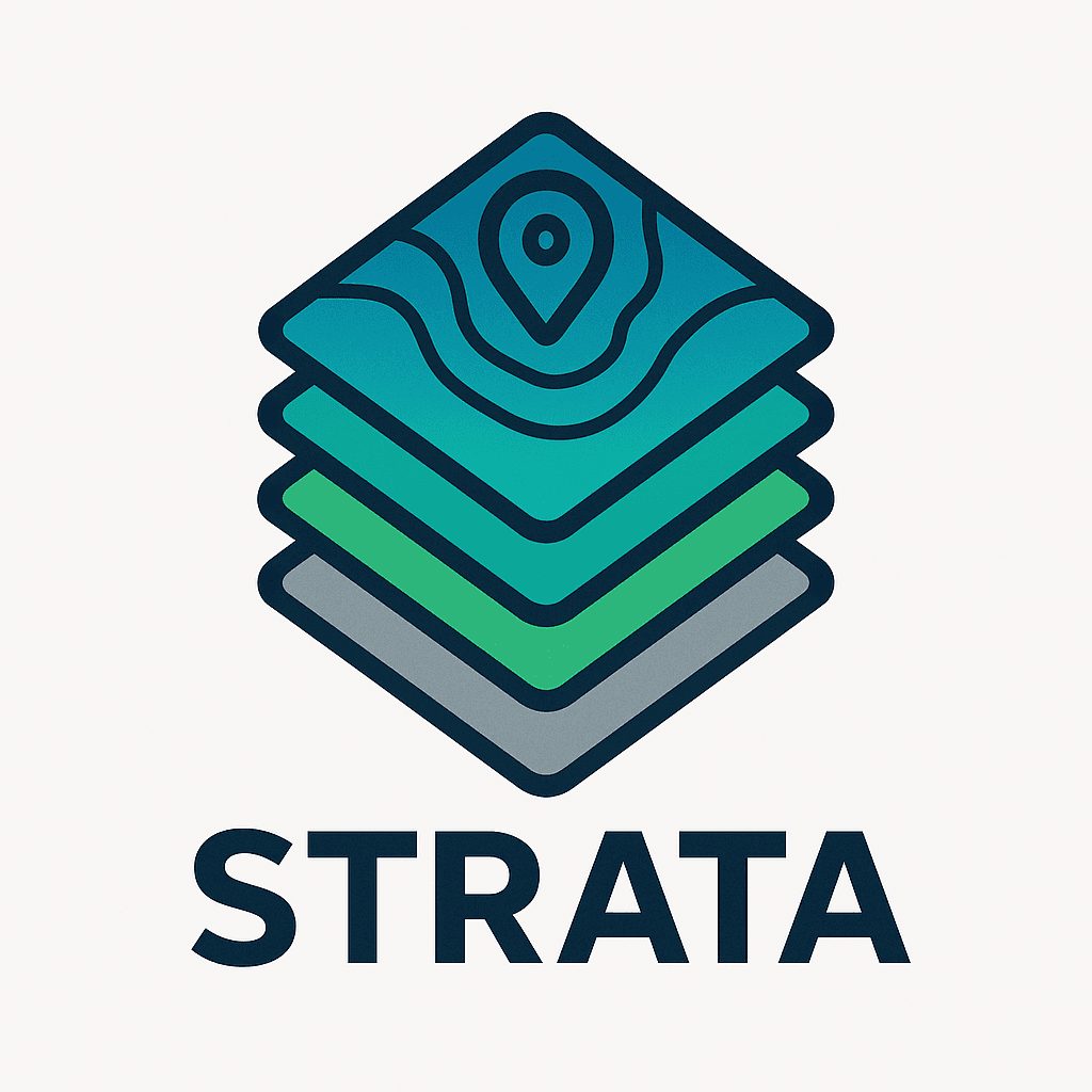
Leading the development and deployment of Strata, an open-source platform that simplifies access, processing, and visualization of geospatial data.
Discover Strata→GIS & EO projects
Custom GIS and Earth Observation applications tailored to your needs, from data analysis to operational decision support.
Get started→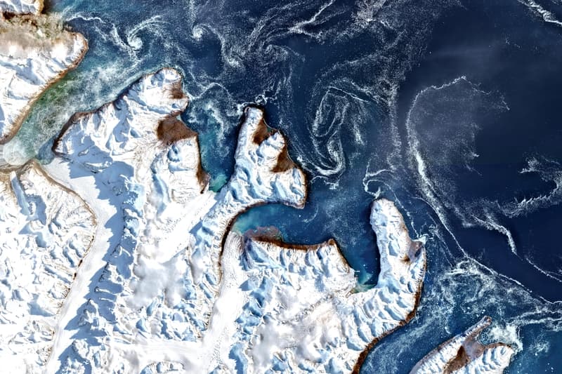
About GeoStratify
GeoStratify is a company specializing in the development of Geographic Information Systems (GIS) and Earth Observation applications. Our mission is to help organizations unlock the value of geospatial data for smarter decision-making and operational efficiency.
With deep expertise in GIS, remote sensing, and open-source geospatial technologies, we support clients at every stage of their projects—from needs assessment and solution design to implementation and training. We are also the creators of Strata, an open-source platform that streamlines geospatial data access, processing, and visualization.
Whether you are looking to develop custom GIS applications, deploy scalable geospatial infrastructures, or leverage Earth Observation data, GeoStratify is your trusted partner for innovation and success in the geospatial domain.
Our Projects
Data Governance in Africa
Strategic collaboration with Expertise France (Kenya, Senegal) to define and strengthen national and regional geospatial data infrastructures.

Strata Open Source Platform
Core development of Strata, a modular cloud-native solution streamlining large-scale satellite imagery ingestion, processing, and visualization.
Advanced Remote Sensing Training
Design and delivery of expert training modules for the 'Geomatics Project Manager' curriculum (Master's level), focusing on automation and spatial analysis.
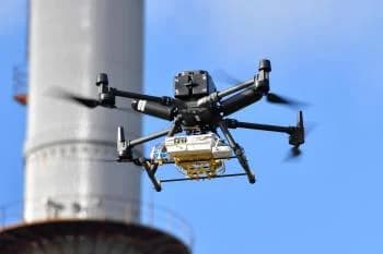
Drone Environmental Monitoring (AUSEA)
Analysis of drone-borne spectral data to precisely quantify Methane (CH₄) and CO₂ emissions from industrial energy infrastructures.
ImaginEarth: Art from Above
Creation of an e-commerce and event platform showcasing the aesthetic beauty of Earth Observation data through fine art prints.
IE4Education (ESA)
Development of educational resources leveraging space imagery to raise awareness among new generations about climate and geographical challenges.
Get in touch
We'd love to hear from you