Case studies
From satellite data to applications
Four demonstrators built in 2026 while testing the Earth Innovation Labs in Kenya. Each starts from the catalogue data and ends with a web application with a map, charts and export.
Climate · agriculture · risk
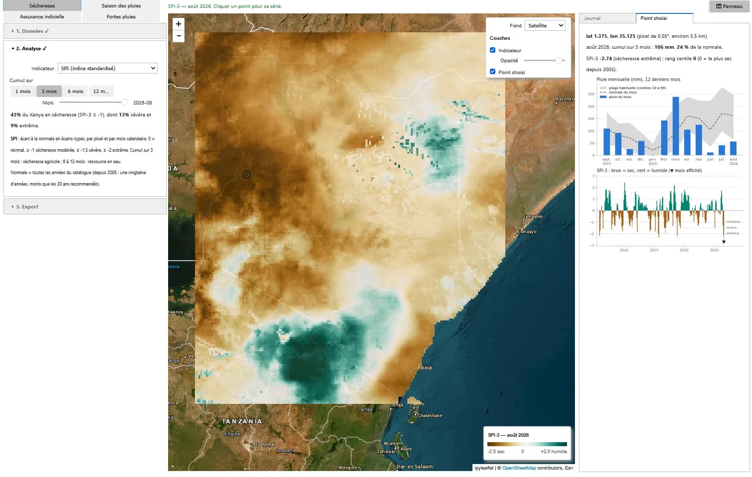
Monitoring rainfall and drought in Kenya
Drought, rainy season, index insurance and heavy rainfall by catchment, in a web application.
View case study
AI · land monitoring
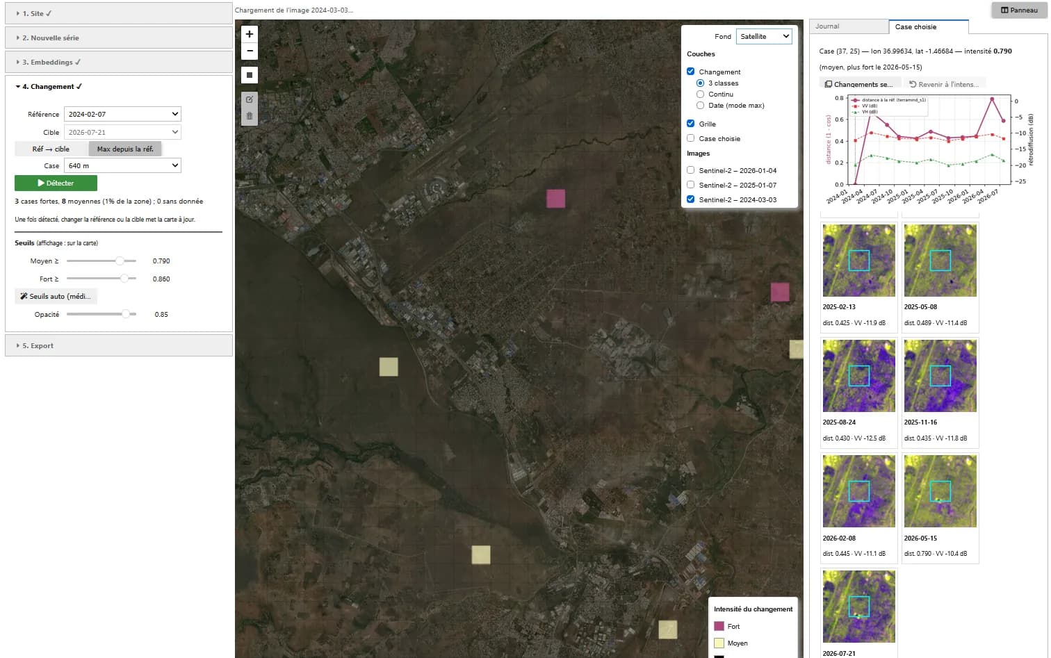
Detecting change with foundation models
Change map between two dates and history of each cell, from optical or radar imagery.
View case study
AI · mapping
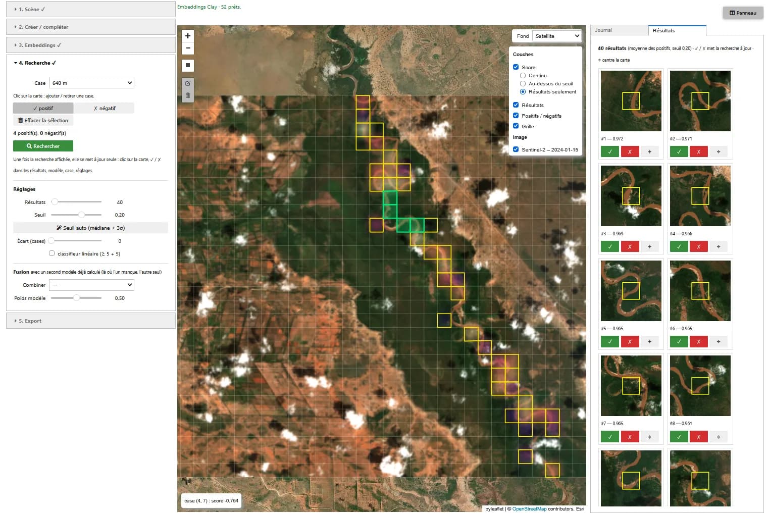
Finding similar features without training data
Search by example on Sentinel-2 and Sentinel-1 images, with Clay and TerraMind, in a web application.
View case study
AI · very high resolution imagery
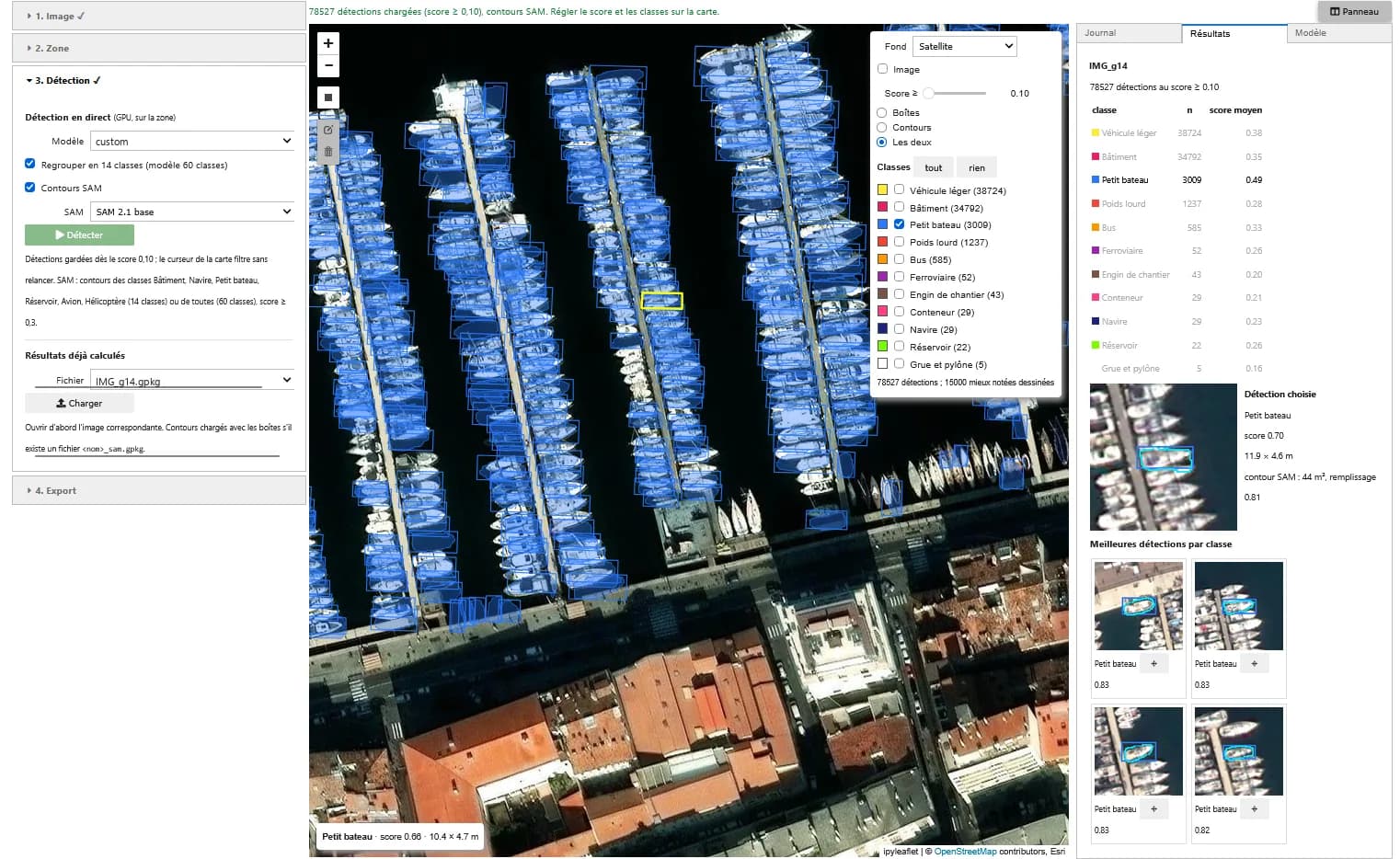
Detecting buildings, vehicles and boats in very high resolution imagery
Training a YOLO detector on xView, then detecting and outlining objects in a web application.
View case study